
Find Your Great Alaskan Home Here
Back to Towns List
Welcome to Diomede, Alaska 99762!
If you have a Diomede webpage or photo you would like to see on this page, drop us an email!
In Inupaq Little Diomede is known as Iŋaliq and Big Diomede is known as Imaqłiq - Source: UAF
Diomede Photos
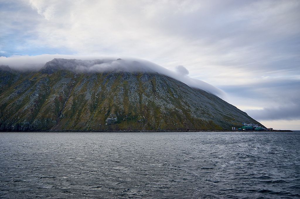
Little Diomede Island, Alaska, August 25, 2016.
Source:
Little Diomede by naql from Kodiak, AK, US
.jpg)
Diomede Islands in the middle of the Bering Strait:. The islands are separated by the border between Russia and the USA and by the International Date Line.
- Western: Russian island of Big Diomede, Imaqliq, Nunarbuk or Ratmanov Island
- Eastern: U.S. island of Little Diomede, in its native language Inaliq or Krusenstern Island (this is the island w:en:Sarah Palin was talking about when she said, "They're our next-door neighbors, and you can actually see Russia from land here in Alaska, from an island in Alaska.")
- Image: diomede.jpg
- Text info: Diomede Islands, Bering Strait
Source: NASA/GSFC/METI/Japan Space Systems and U.S./Japan ASTER Science Team.
More Diomede Photos
Click on the maps to go view more photos
Diomede Webpages
State of Alaska's Diomede Page
Weather
Maps of Diomede, AK
Diomede Story Map by the State of Alaska's DCRA
Diomede_1980.pdf
Diomede_1996_24x36.pdf
Diomede_2004_Area_Map_24x36.pdf
Diomede_2004_Sht_1_24x36.pdf
Diomede_2004_Sht_2_24x36.pdf